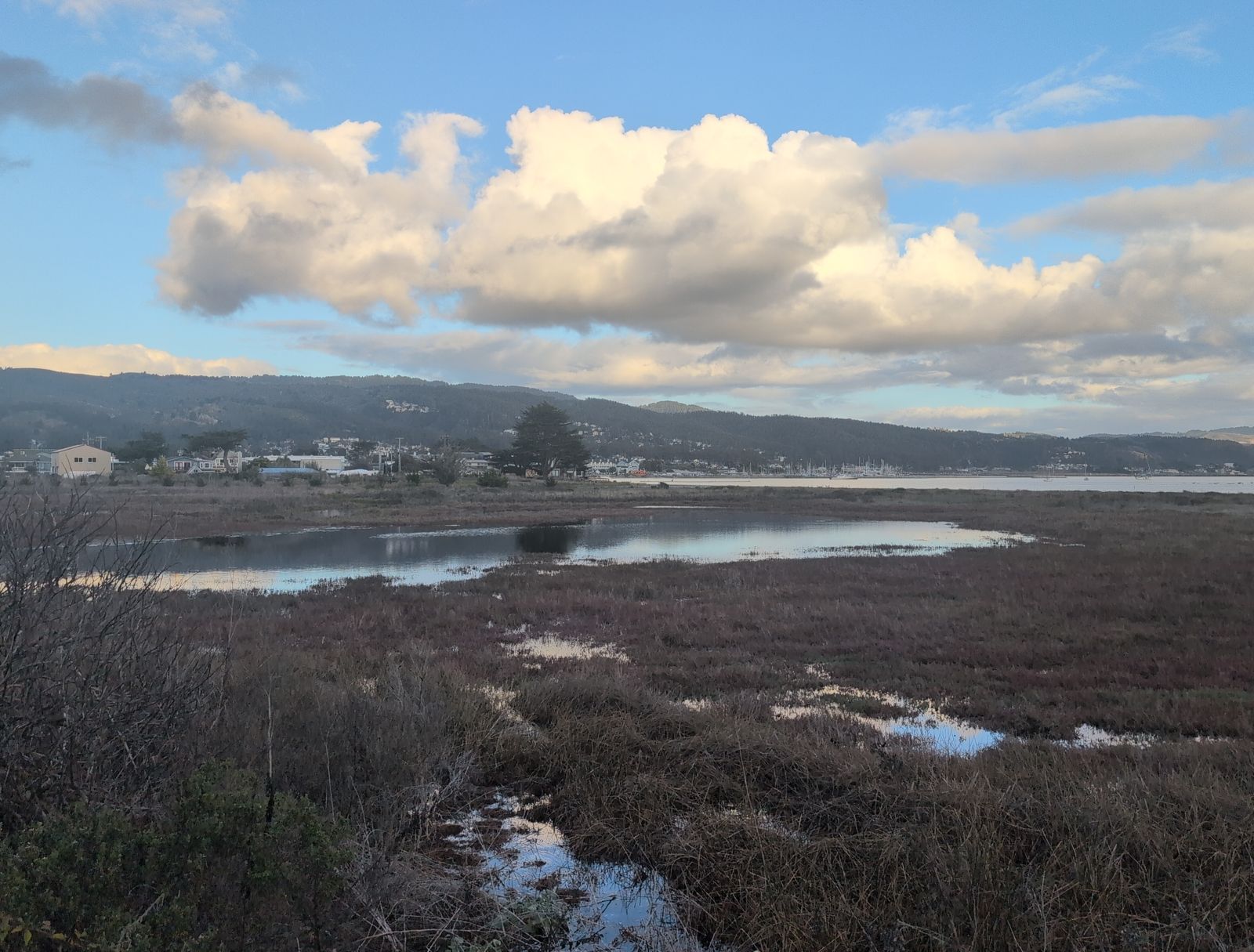
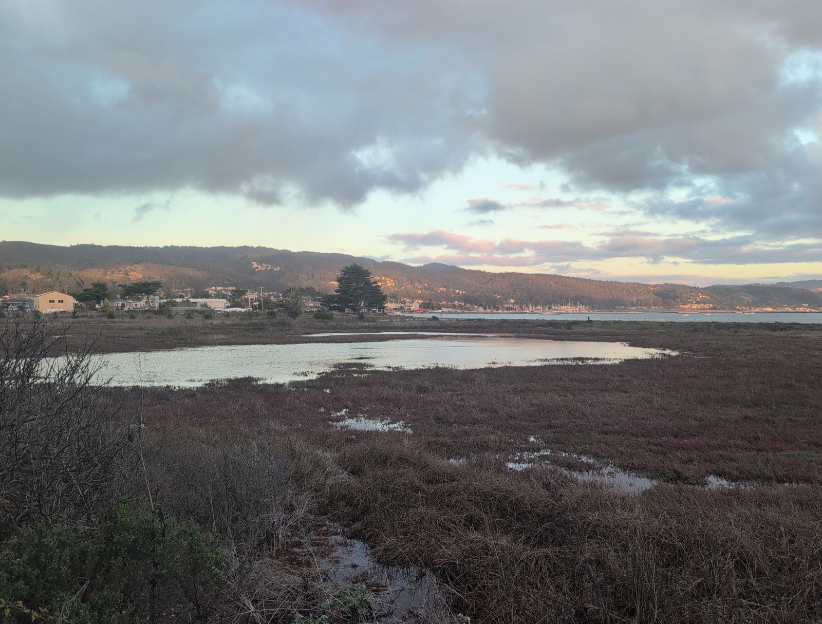
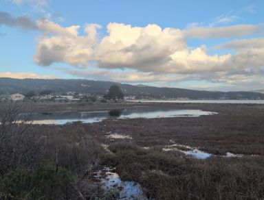
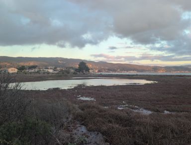
| 1 2026-11-17 | 2 2026-11-17 | |
|---|---|---|
| Weekday | Tuesday | Tuesday |
| Time | 15:59:00 UTC-8 | 16:43:15 UTC-8 |
| Time of day | Afternoon, sun 10° up | Afternoon, sun 2° up |
| Later by | 44 min | |
| Place | 37.50121, -122.49664 | 37.50122, -122.49664 |
| Altitude | 6 m | 5 m |
| Facing | 77° ENE | 69° ENE |
| Field of view | 71° | 71° |
| Camera | Google Pixel 9 Pro XL | Google Pixel 9 Pro XL |
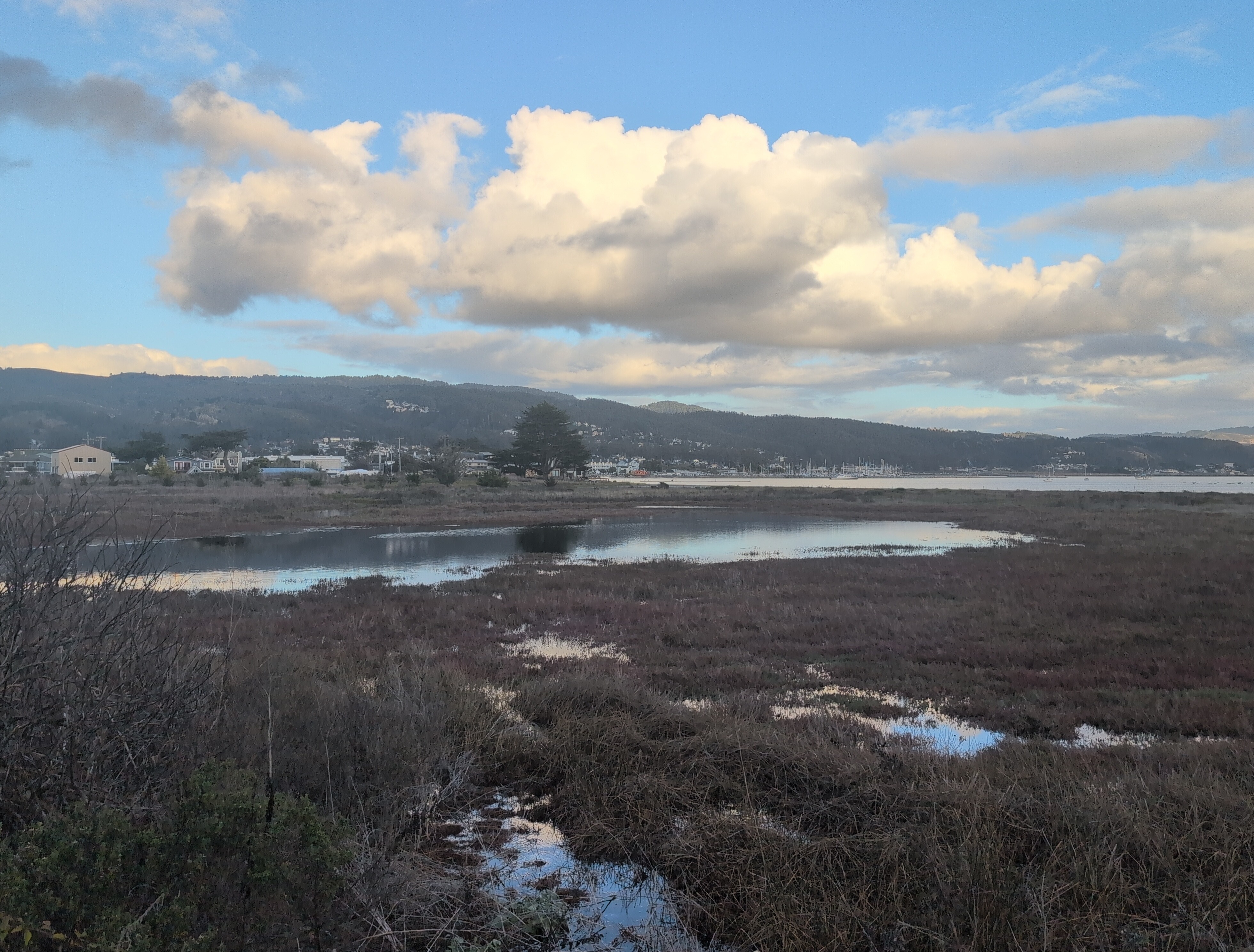
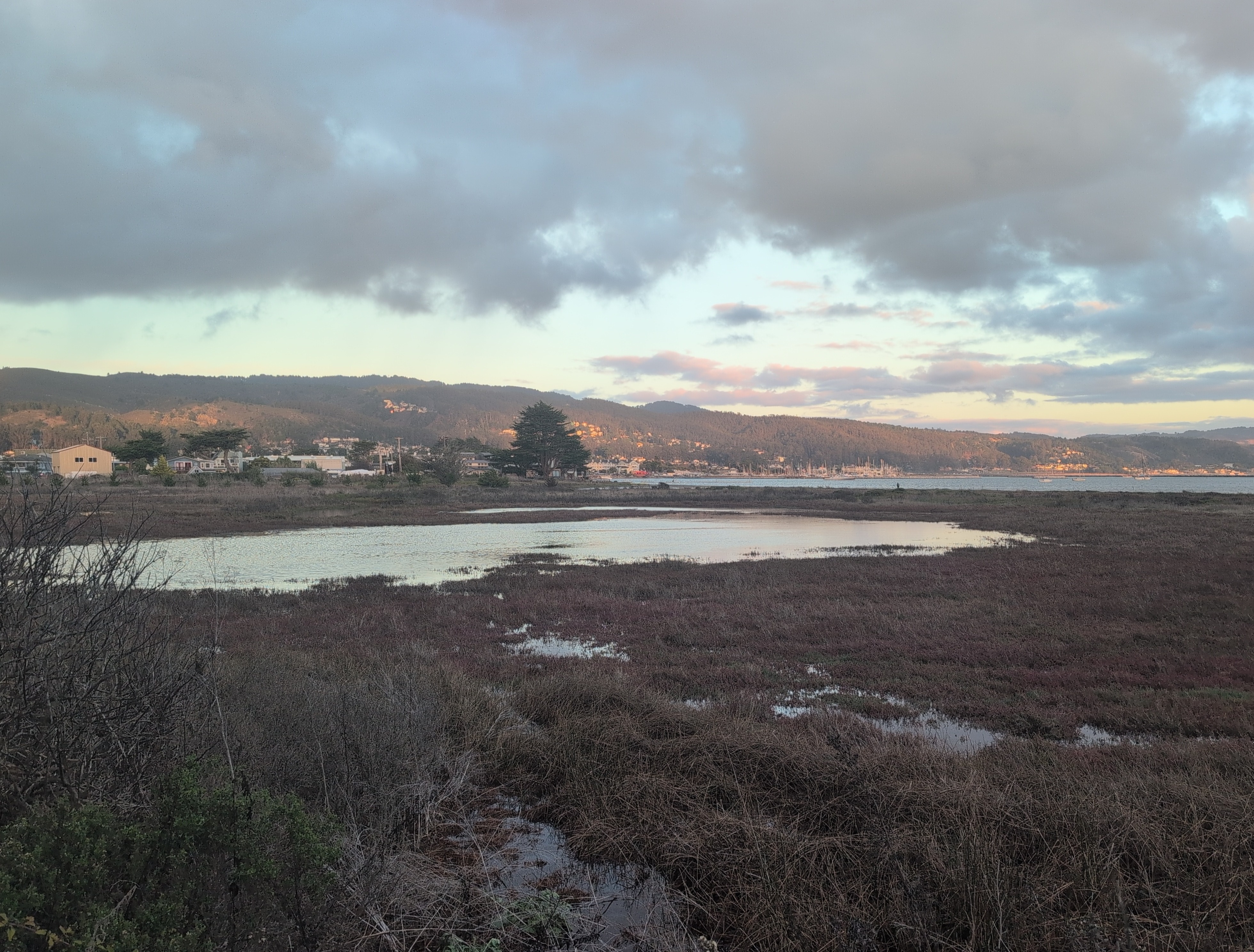
1
2
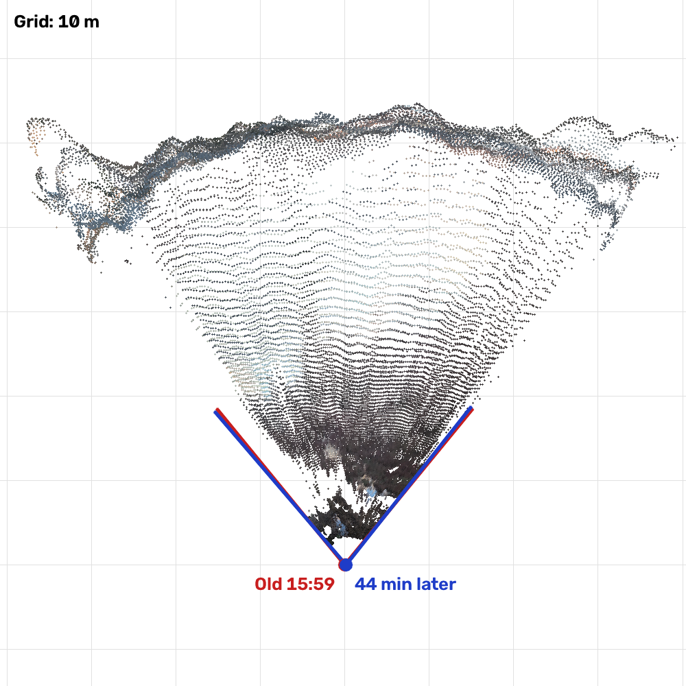
On the map, the dashed wedge is where the old photo was taken, worked out from the photos, and the coloured dots are the points both photos show, seen from above.
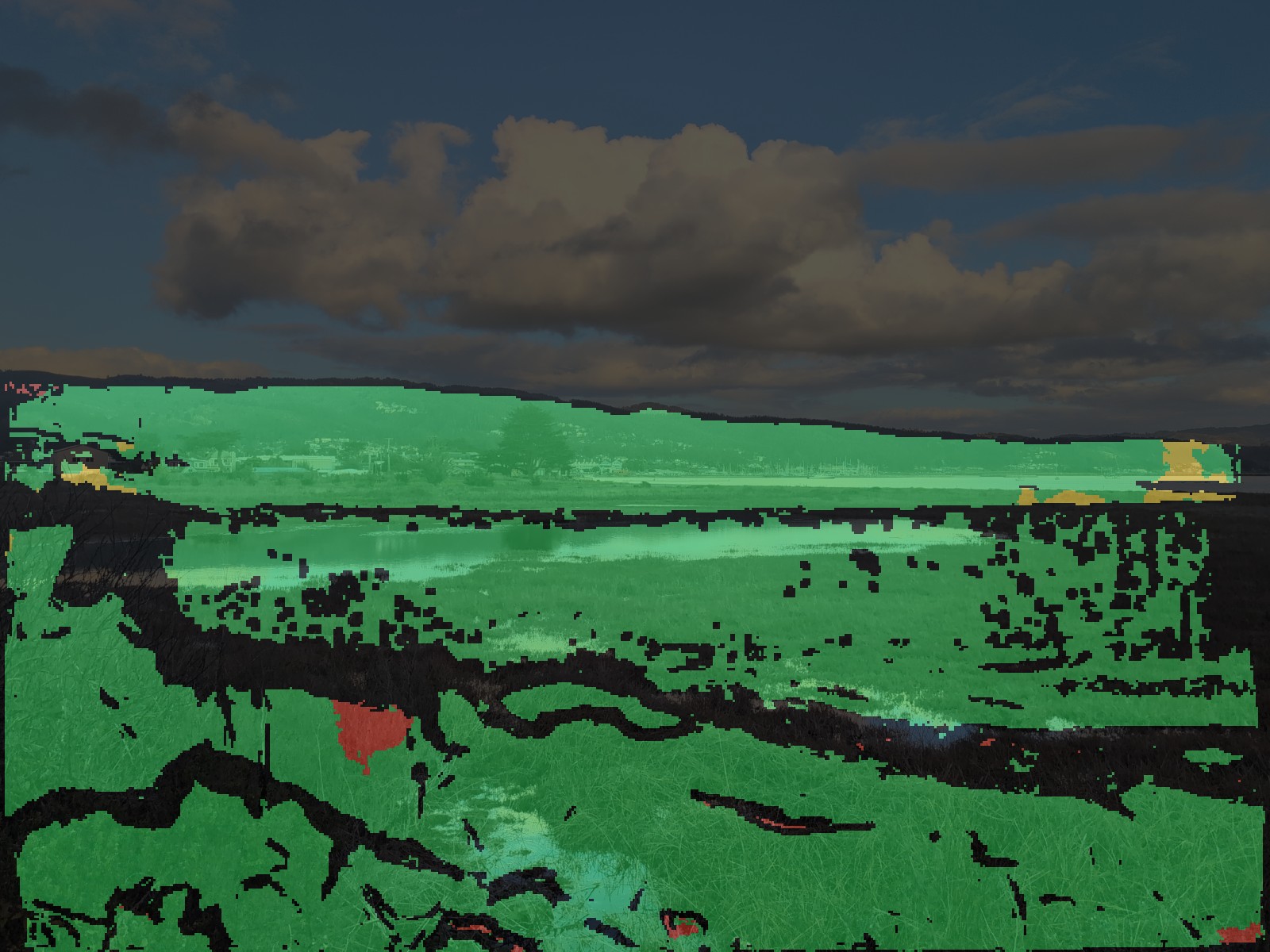
San Mateo County, California, United States.